Hiking In Acadia National Park (Our 36 Hour Itinerary)
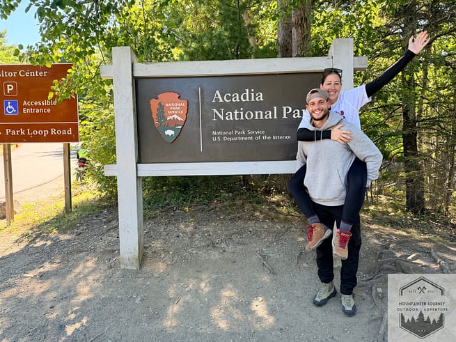
After spending 36 hours in Acadia National Park, I’m going to go over my top hiking experiences and also reveal my favorite hike during my stay.
We visited this park in the 3rd week of September, right when the fall foliage was setting in. Below are my experiences and tips for each trail I was on.
Cadillac Mountain (North Trail)
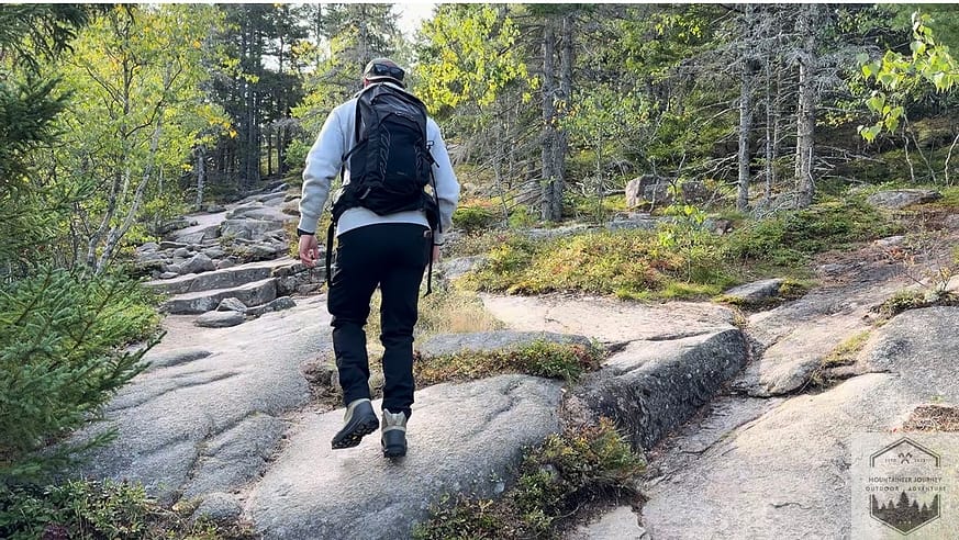
This 4.2-mile back-and-forth takes you to the top of Cadillac Mountain, the highest point in Acadia National Park. I tested my New Garmin Fenix 9 on this trail, which showed about 1,100 ft of elevation gain on our way up, approximately 2.1 mi. Some people may find trekking poles helpful on this trail; however, I made it up without any assistance.
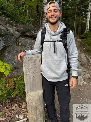
The hike starts with a short scramble over granite rocks. However, once you start working your way up, there are many exposed areas of large granite surfaces where you can look back onto the bay area. The trail is well marked. For sunrise hikers, plenty of markers will guide you to the top in the dark with a headlamp and a flashlight.
The trail is rated as moderate. However, there are certain spots where you can stop off to take a break if needed, where the section begins to flatten out for a couple hundred feet. Approximately a quarter mile from the top, there is an overlook called Hawks Watch, another nice break area, although we did not see any Hawks in the air.
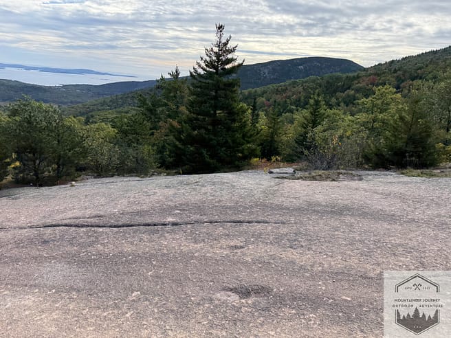
Once at the summit, there are many spots for you to rest and take in the view. The entire Cadillac Mountain summit is a large area, and many national park visitors purchase a pass to drive up the mountain to take in the view. Although it can get pretty packed, there’s more than enough room for you to take a break and enjoy the view without others in your way.
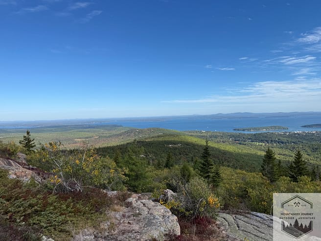
Cadillac Mountain is also known for its sunrises and sunsets. You must purchase these passes if you are driving up for either occasion; if you are hiking, you don’t need a pass (other than the National Park pass to enter). We both hiked Cadillac Mountain and drove up for the sunrise; I recommend both.
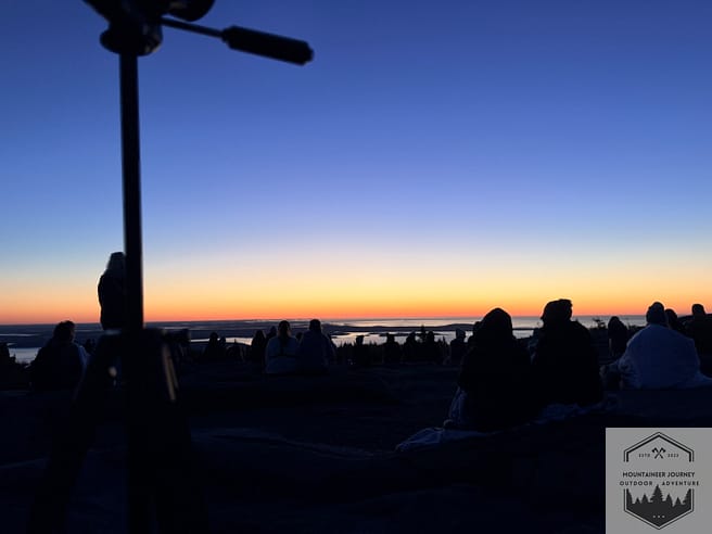
Overall, the Cadillac Mountain North Trail is not difficult. We got up and down the mountain in about 90 minutes total.
The Beehive Trail
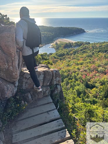
This is Acadia National Park’s number one hiking spot. It’s a 1.6-mile loop with 500 ft of elevation. This path includes some iron-rung climbing and tight cliffside sections. Overall, this isn’t a very difficult hike, but it can be scary for people who are afraid of heights. Don’t wear a wide backpack, as you may get caught on tight climbing sections.
Arrive early, as this’s Acadia’s most popular spot, and many hikers end up bottlenecking and waiting for others to get up the iron rungs and ladders. We arrived by 7am and didn’t really have to wait to finish the climb.
The beginning of the hike starts up a small boulder section; about 0.3 miles is the end of another trail called the Bowl. At a fork, start counterclockwise to work your way up to the Beehive. Don’t do this trail clockwise, as you’ll end up doing the climbing section on the descent, which will hold up other hikers coming up.
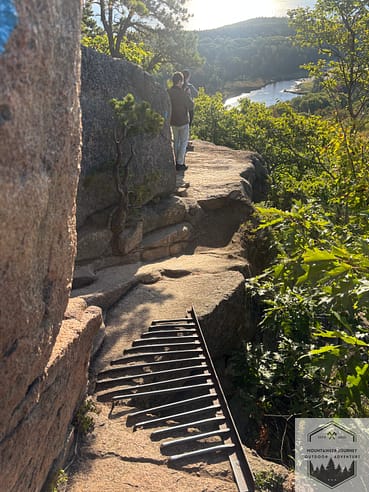
The beginning of the climb has iron rungs and ladders to climb. Make sure to wear stretchy pants for some of these step-ups are quite high. We were at the top of Beehive in less than 30 minutes. The view from the top of Beehive is a nice coastal view; we could see Gorham Mountain, as well as the amazing Fall tree color changes from the top.
The way down from Beehive is some small rock scrambles, a single-track dirt trail, and some stairs. You can also take the Bowl trail on your descent to see the Bowl pond (this adds an additional .3-.5 miles).
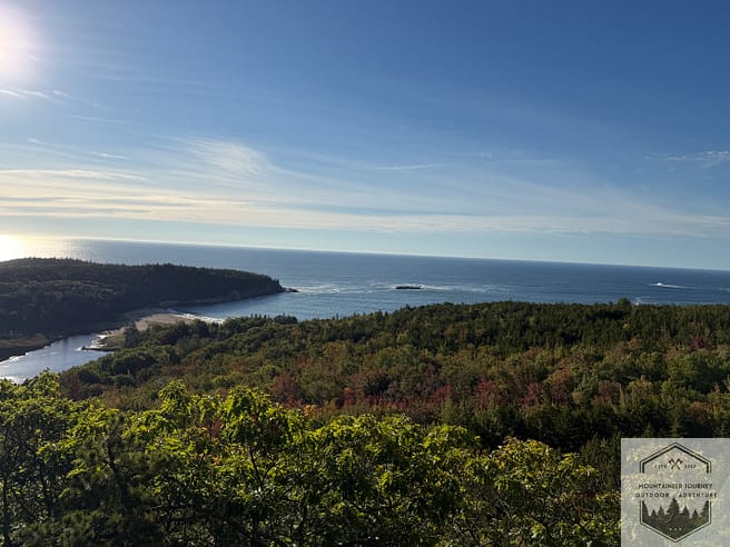
Overall, the Beehive is a fun, exciting hike, and I recommend doing it while visiting Acadia, especially if you’re not afraid of heights. However, the next hike was my favorite of the entire trip, and I believe it has better views than the Beehive.
Jordan Pond Path And South Bubble
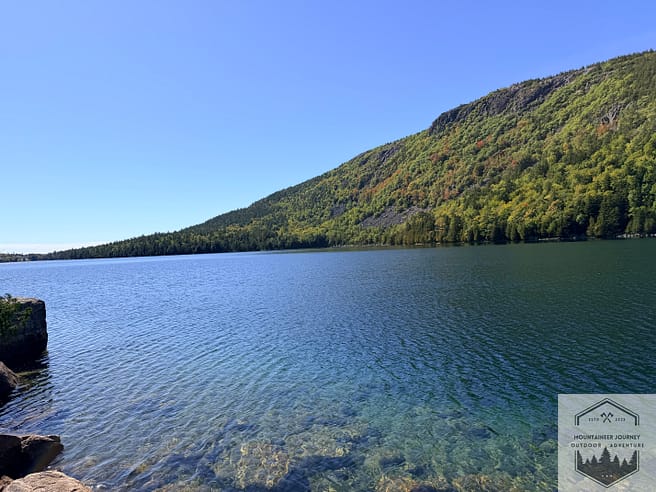
The John Pond Path and the views from the South Bubble were easily my favorite during our entire Acadia National Park trip. Try to arrive early to the Jordan Pond Path, as this is a fun area that’ll fill up fast, especially because of the Jordan Pond restaurant that is in the area as well.
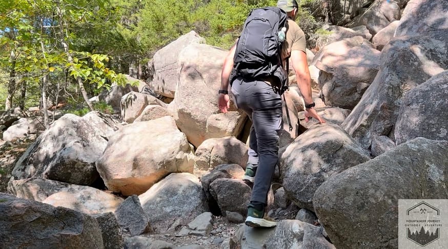
I recommend starting the path counterclockwise. Initially, this is a single-track dirt trail where you may have to pull over to let hikers pass. It can get quite crowded here. It is entirely flat, with amazing views of the pond and spots to stop for pictures.
About 1.3 miles in, you will see the South Bubble trailhead and begin your ascent up a small rock scramble. This is very well marked, and you’ll have to traverse right to left in some instances as you work your way up.
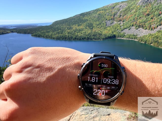
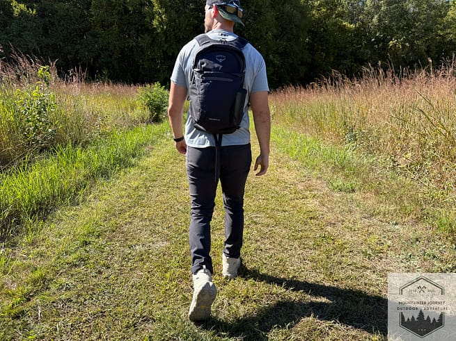
Getting close to the top, you gain about 550 ft of elevation working your way up to the South Bubble summit. There are a few areas where you have to climb vertically to get yourself up. I do recommend carrying a smaller backpack, as it can get quite narrow. I had on my Osprey Talon 22 and had to throw it up to my wife while I climbed certain sections because it was too narrow.
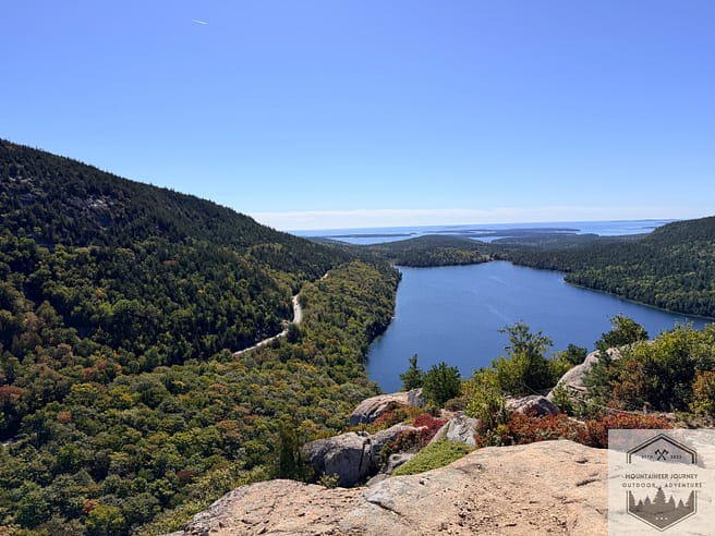
Once you reach the summit, it is one of the best views I have ever seen. We had a completely clear day, and I could see the sun’s reflection on Jordan Pond, which was beautiful. Even better, the Bubbles, Penobscot Mt, and Pemetic Mountain all around Jordan Ponds really make it seem like a basin lake. Since it was such a clear day, we could also see the shore.
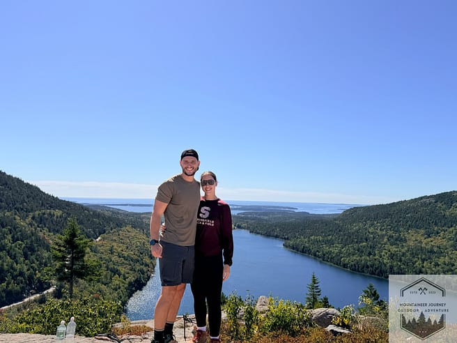
For photographers and videographers, this is one of the best spots to catch some of the best shots in Acadia National Park. From there, you can take a short break. You can choose to come down the same way during your descent of the bubbles, back onto Jordan Pond Path, or there’s also a backside trail down the South Bubble to loop you back onto Jordan Pond Path, but you do lose some sightseeing on the Jordan Pond Path.
We decided to go down the same way we came up, getting back onto Jordan Pond Path. At the pond’s apex, there is a nice shoreline with a full view of the lake; I recommend stopping here for pictures as well.
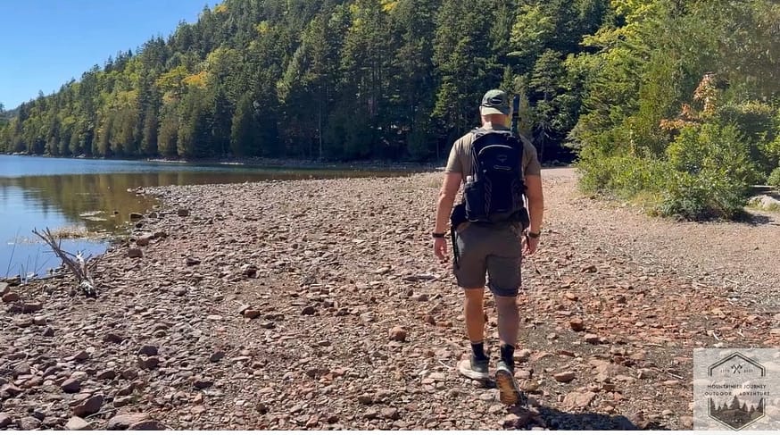
The last 1.4 miles of Jordan Pond is an elevated wooden plank section that is wide enough for two people. However, you will have to again move to the side for some hikers, as this is a very popular walking trail for visitors.
Overall, this trail was our favorite when we visited Acadia National Park, as I thought the views were better from the South Bubble summit than Beehive, and you have to earn the view just a little bit more.
Sand Beach to Thunder Hole
The Sand Beach Trail to Thunder Hole is not a hiking trail in the traditional sense. It is a flat path many visitors like to walk along the beach in Acadia. We chose to do this trail on a Friday afternoon and found it quite crowded.
There are many spots along this walking path to stand on the cliffs and watch the ocean waves smash against the rocks. If you come around the high-tide area while you make your way to Thunder Hole, you can really hear the waves crashing hard. The out-and-back from Sand Beach to Thunder Hole is only 1.7 miles. However, we chose to keep following the ocean path, which takes you all the way to Otter Point. This adds about 2.3 more miles with a few steps along the way, but nothing strenuous.
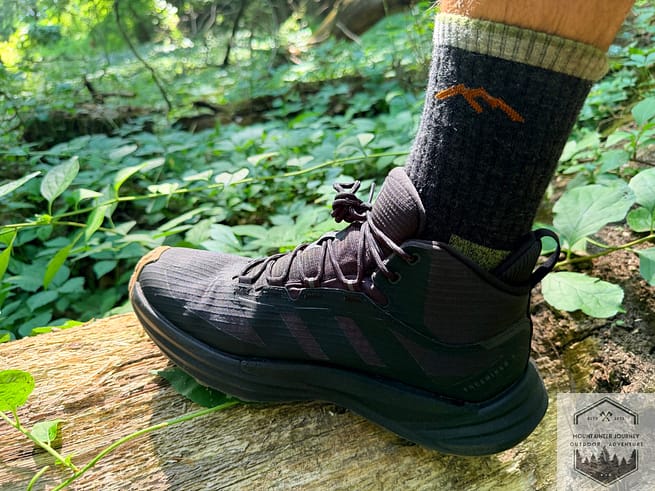
This is a nice, relaxing walk along the beach. However, you don’t need any special gear like the other trails we mentioned in this article. Normal shoes will suffice; I personally wore hiking shoes.
Hiking In Acadia National Park (My Experience)
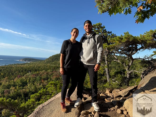
Overall, after spending 36 hours in Acadia National Park, I did some of my favorite hikes in my life. Visiting this national park toward the end of September, I got amazing shots and views of the mountains that I will always remember.
I chose the above trails because they were all separate from each other around the park. Some trails, such as the Gorham Mountain Loop, will give you the same views as Beehive because they are in such close proximity.
If I had another day, I would have chosen the Precipice Trail, which is a little more strenuous than Beehive, according to some hikers I talked to during my stay.
Overall, I had an excellent experience at Acadia National Park and would recommend it to anyone looking for great views and some shorter trails.
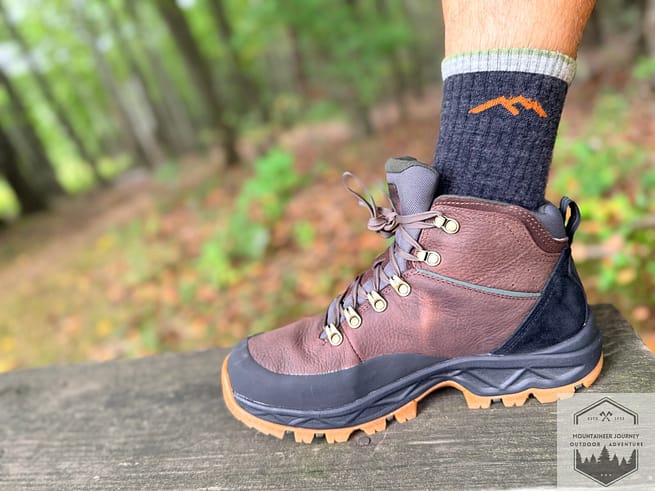

Tyler is the founder Mountaineer Journey and a professional Mountain Guide with 15+ years of technical experience in trekking, mountaineering, and trail sports. Having logged thousands of miles from rugged alpine summits to urban paths, Tyler provides rigorous, field-tested insights on hiking, walking, and trail running gear. All reviews are 100% unsponsored and unbiased, ensuring you get honest scoring based on real-world performance. His mission is to help outdoor enthusiasts of all levels find reliable equipment that ensures comfort, safety, and performance on any terrain.